
Free Interactive Map of Responsive Screen Sizes for Web Designs
Here is a free website with an interactive map of responsive screen sizes. You can check out the screen sizes of popular devices for designing purposes.
→
Here is a free website with an interactive map of responsive screen sizes. You can check out the screen sizes of popular devices for designing purposes.
→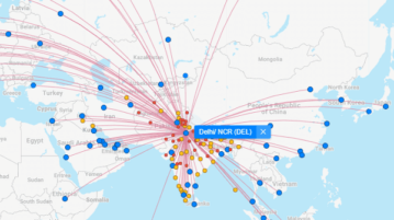
Here is a free airline routes map to see direct, indirect flights from any location. Use the websites mentioned here and see flights from any location
→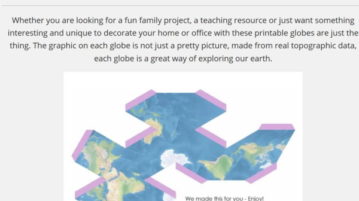
MapScaping is a website which offers free printable folding paper globes, which can be downloaded and printed and can be made into folding paper globes.
→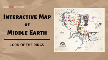
This article covers an interactive map of Middle Earth where you can explore the timelines, places, paths, and events from The Hobbit & Lord Of The Rings.
→
This article covers 3 free interactive world history atlas where you can view the political history of the world since 3000 BC.
→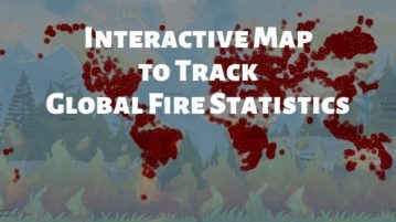
Here is a free interactive wildfire map where you can track all the forest and domestic fire incidents all over the world and view global fire statistics.
→
This article covers an interactive map where you can know the places where Facial Recognition Surveillance is happening or spreading next in the US.
→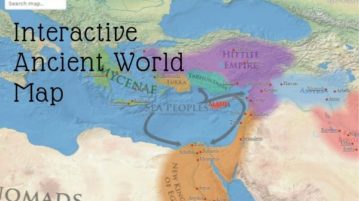
This article covers an interactive map of ancient world where you can explore the political territories of the ancient empires and kingdoms.
→
This article covers an interactive Map of Ancient History Museums where you can locate the history museums and archaeological sites all over the world.
→
This article covers a comprehensive interactive world forest map where you can track the deforestation, climate change, biodiversity, and more.
→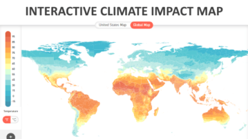
This article covers an interactive climate change map that shows the impact of climate change on the surface temperature of the earth.
→
This article covers an online interactive world wildlife map where you can explore trends in biodiversity knowledge, distribution, and conservation.
→
This article covers an interactive map of the world’s nuclear power plants where you can know the status, capacity, and location of those plants.
→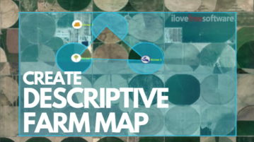
This article covers an online farm mapping tool where you can create a descriptive map of your farm with crop scape data and legal land records.
→